

I just discovered that Google Earth can be used in real time presentations to give student an idea of where they are in relation to physical land marks, very useful if you are about to go off campus on a field trip.
For example, I have just sent our Youth Work students on a journey visiting youth services that support AT-RISK youth in the fortitude valley region of Brisbane. Each team was given a set of maps from Where is Dot Com to help them navigate to their respective excursion locations.
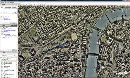
I used Google Earth Download
To Give them the bigger picture of the Brisbane area, and pin pointed all the landmarks, so they could easily see how to get there...and see that the distances between each youth service was only small. Further to this with the inclusion of the Street View function on google maps, students can get a view of the venue they are visiting as if standing in the street, making the landmark more recognisable when they get there.
When most of us have google earth on our phones, with gps positioning, orientering will be snap!


1 comment:
Wow! That sounds like fun.
Post a Comment